This section of the guide suggests resources for finding films, podcasts, art and other media created by or under the creative control of an Indigenous individual or group.
 COUSIN Collective
 Indigenous Cinema - National Film Board of Canada
 kanopy
 Tribesourcing Southwest Film
 American Indian Film Gallery
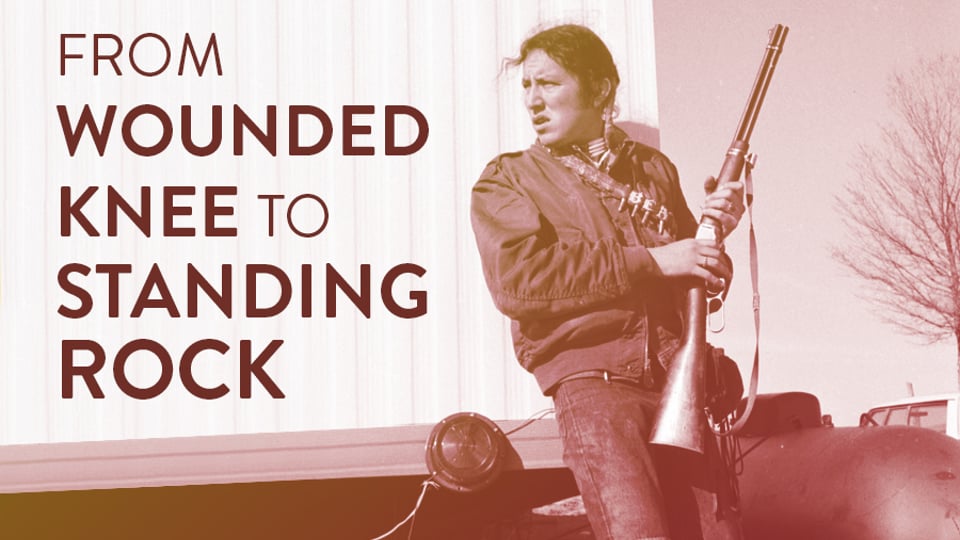 From Wounded Knee to Standing Rock: A Reporter's Journey
by
From Wounded Knee to Standing Rock: A Reporter's Journey
by
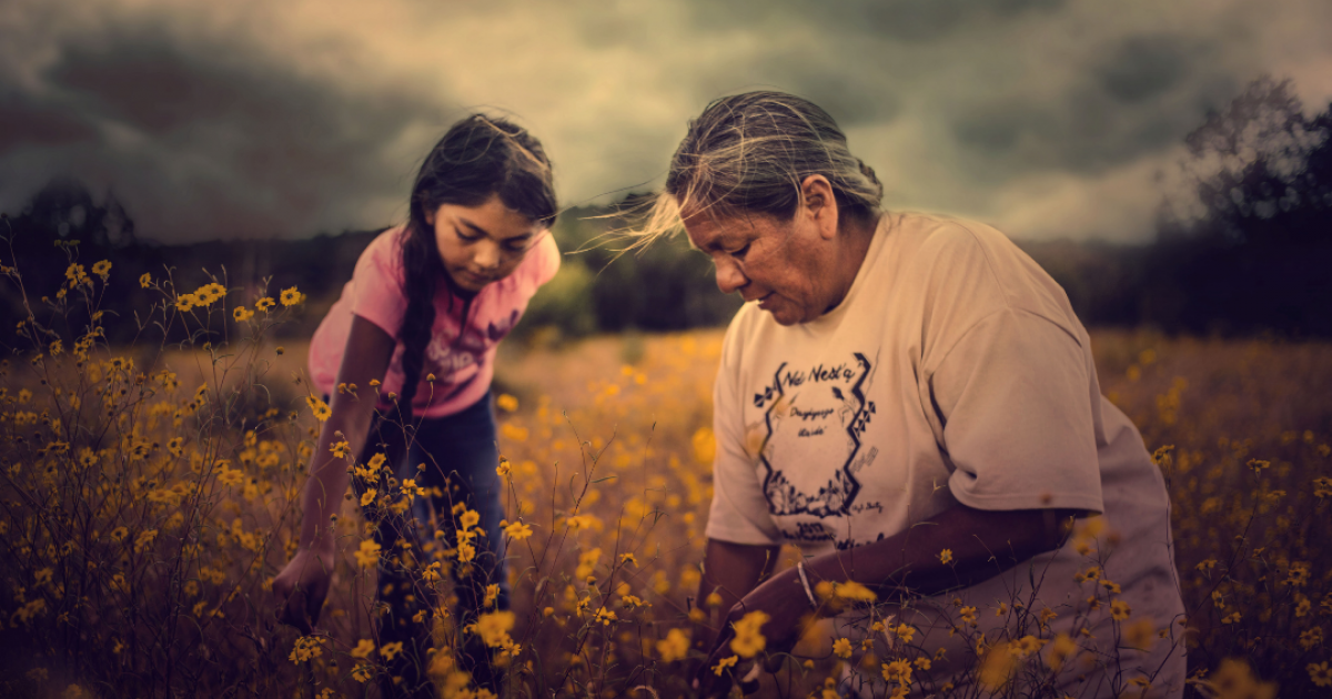 Gather
by
Gather
by
 More Than a Word: Native American-Based Sports Mascots
by
More Than a Word: Native American-Based Sports Mascots
by
 Powwow Highway
by
Powwow Highway
by
 Seasons of the Nuche: Tales of the Ute People
 Smoke Signals
by
Smoke Signals
by
 Spirit of the Nuche