
The Earth Sciences & Map Library has four digital map collections. More information on each collection can be found on the pages linked below.
Click on "Category Pages" to see smaller subsets of these digital collections. Images may be saved or downloaded from the digital collection site.
For assistance accessing these collections or to view these maps in print at the Earth Sciences & Map Library, please email rad@colorado.edu or call 303-492-7578 to schedule an appointment.
The following databases are accessible to CU-Boulder affiliates with an IdentiKey. People not affiliated with CU-Boulder may access these databases by using computers in the Libraries:
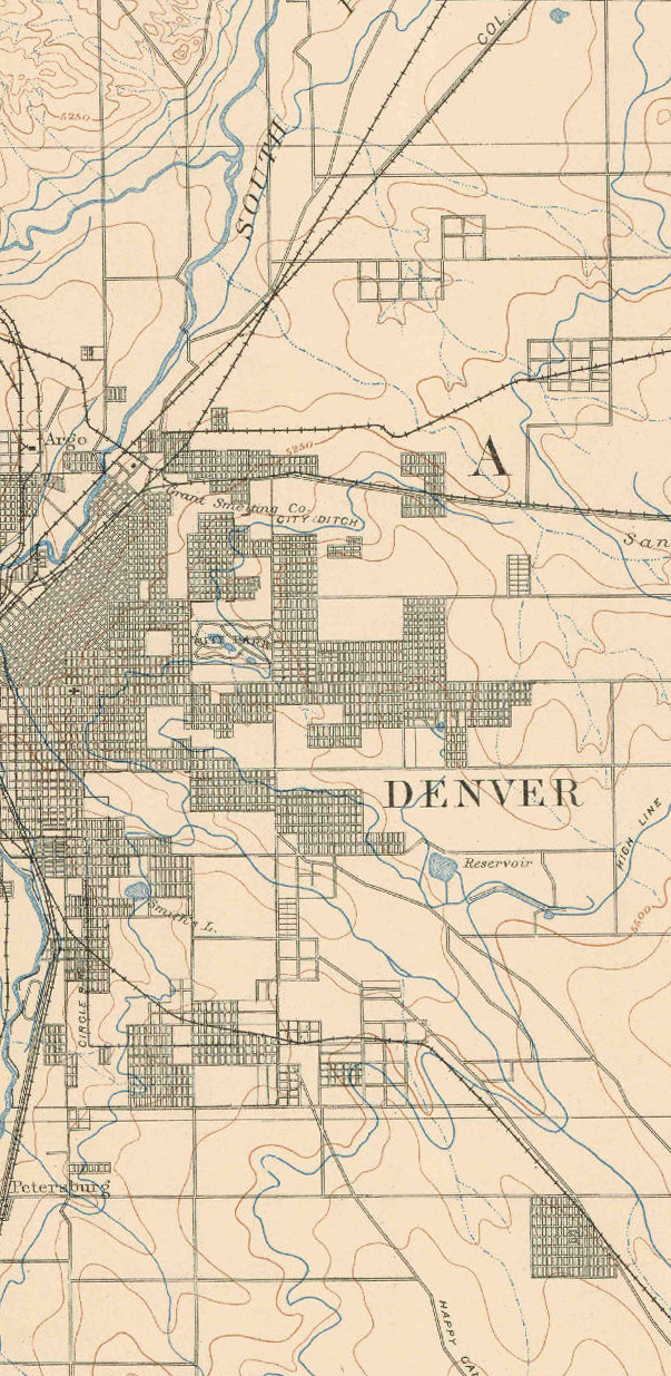
A portion of the 1890 East Denver USGS topographic map
